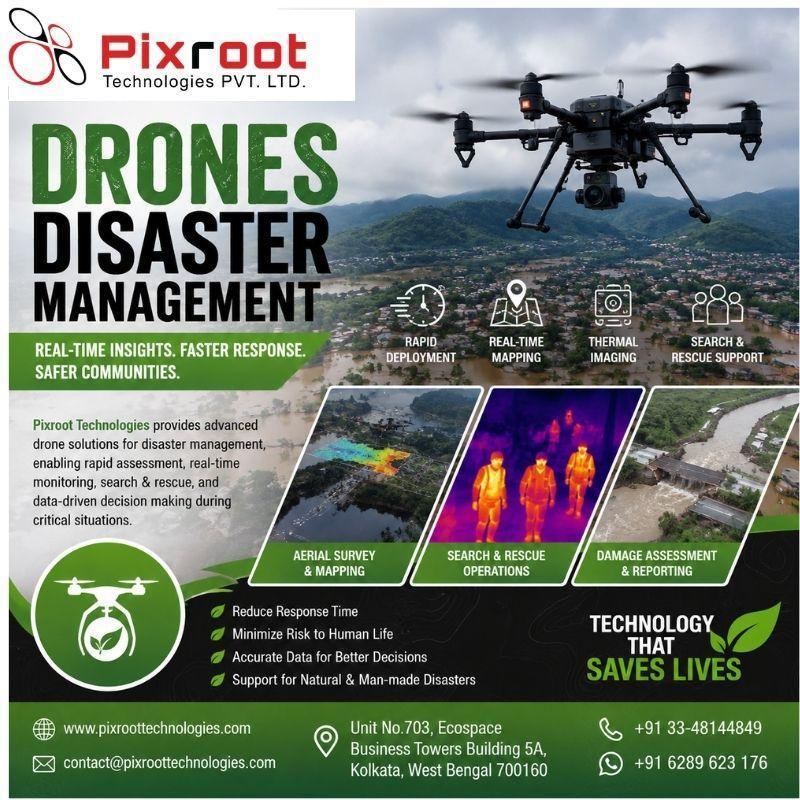
Drones Disaster Management Services for Natural and Industrial Emergencies
Drones are transforming modern disaster management by providing fast, accurate, and safe aerial intelligence during emergencies. Pixroot Technologies offers advanced drone-based solutions that help government agencies, infrastructure companies, emergency response teams, and organizations assess disaster situations and make informed decisions quickly.
Our drones disaster management solutions can support response operations during floods, cyclones, landslides, earthquakes, fires, and other natural or industrial emergencies. Equipped with high-resolution cameras, thermal sensors, and advanced mapping technology, drones can capture real-time aerial imagery of affected areas without putting personnel at unnecessary risk.
Drone surveys help identify damaged roads, bridges, buildings, power infrastructure, pipelines, and other critical assets. The collected data can be used to create detailed maps, monitor inaccessible locations, estimate damage, and support rescue and recovery planning. Thermal imaging can also help locate heat sources or people in certain emergency scenarios.
With rapid deployment and extensive area coverage, drone technology can significantly improve situational awareness and reduce the time required for disaster assessment. Pixroot Technologies combines skilled drone operators, modern UAV technology, and geospatial data processing to deliver actionable insights for emergency response and disaster recovery.
By integrating drones disaster management into emergency planning, organizations can improve safety, response efficiency, and decision-making when every minute matters.
https://pixroottechnologies.com/2026/09/05/disaster-management-drones-transforming-emergency-response-in-india/
It is ok to contact this poster with commercial interests.
Call seller